Nearly 10 million people are on alert for fire weather conditions in southern California.
Red flag warnings are in effect through Wednesday for 8.8 million people over much of Los Angeles and Ventura counties and a fire weather watch for another 1 million south to the Mexico border from Monday through Wednesday.
Santa Ana winds are expected to grow Saturday evening and peak overnight. Gusts between 50 and 70 mph are possible — especially in passes and at higher elevations of the mountains. The strongest winds are expected to peak again late Monday into Tuesday.
This may turn the “blow torch” back on and spread dangerous embers.
Important to note that places that haven’t seen devastating wildfires are under alerts for this critical fire danger – including Anaheim, Temecula, San Bernardino, and Big Bear Lake.
The fire outlook for Saturday is back at the “Critical” level for much of southern California as dry, gusty winds fan the flames.
Wind alerts, including a High Wind Warning, are in effect for much of the Los Angeles area as this next round of Santa Ana winds arrive.
Confidence in rainfall in the foreseeable future is low.
Air quality is unhealthy and even hazardous in the LA region, and until the fires stop, this will continue.
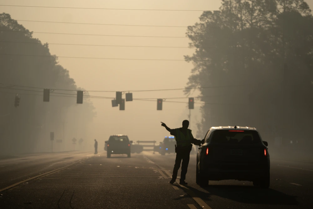
Smoke has also led to significantly reduced air quality all across the Los Angeles area and there won’t be any major improvements until these fires subside.
Southern California is not out of the woods yet when it comes to fire danger.
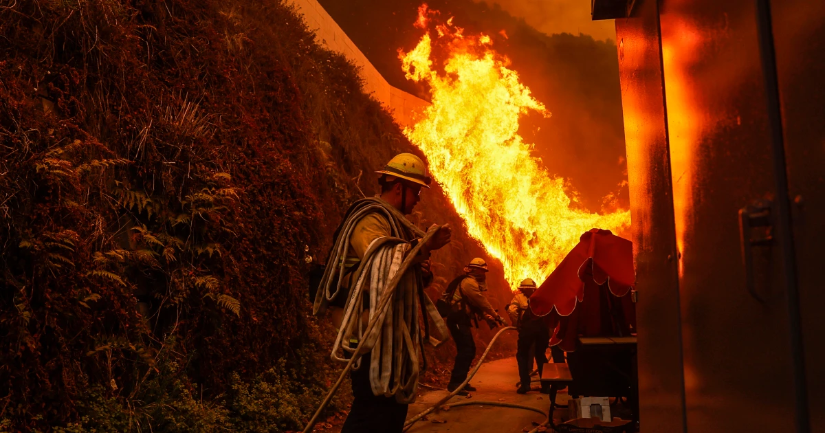
At least 11 people have been killed by the devastating wildfires. The two biggest are the Palisades Fire, which has decimated the coastal community of the Pacific Palisades, and the Eaton Fire, which has scorched home after home in Altadena.
As of Saturday morning, the Palisades fire, at 21,596 acres, was 11% contained and the Eaton fire, at 14,117 acres, was 15% contained, according to Cal Fire.
Los Angeles is now tied for the driest six month period between July and January on record. With only 0.16 inches within that timeframe it is tied with 1962-63. The average temperature in that time period has been 4.2 degrees warmer this year than it was in 1962/63. This means the ground is likely much drier here in 2024/25 than the last time there was this little rain in 1962/63.
Last week, the National Weather Service issued a Particularly Dangerous Situation red flag warning for catastrophic and life-threatening winds up to 100 mph. This is the strongest warning the National Weather Service can issue and it is rare to see this type of alert.


