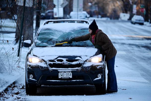
Millions of Americans should prepare for an Arctic blast that will blanket much of the country in below-freezing temperatures over the next several days.
Frigid conditions are expected over a large swath of the contiguous U.S. in the aftermath of a powerful cold front moving through the East Coast on Wednesday, forecasts show.
Once the rain and wind has subsided, the icy conditions will extend east and south from the upper Midwest — reaching as far as Texas and Florida.
The cold air moving over the Great Lakes while they are still ice-free is expected to generate a lake effect snow event.
The National Weather Service has issued a lake effect snow warning for portions of northwestern Pennsylvania and western New York, where locally 2 feet to 3 feet of snow is possible, forecasts show.
A winter storm warning has also been issued across portions of Wisconsin and Michigan, where locally 1 foot to 2 feet of lake-effect snow is possible.
Chilly temperatures got an early start in the upper Midwest. On Wednesday morning, wind chills dipped to as low as -38 degrees in eastern North Dakota.
The arctic air mass will then move east and south, bringing the coldest air of the season from Texas to New York. A frost advisory has even been issued for parts of northern Florida, including Gainesville.
The frigid temperatures are expected to last through Friday and evening Saturday morning in some regions, including Minneapolis, Chicago, New York City and Atlanta.
The cold will begin to ease this weekend, first across the center of the country, then reaching the East Coast by Sunday and Monday.
Above average temperatures are favored across much of the country next week, according to the latest forecast from NOAA’s Climate Prediction Center.


