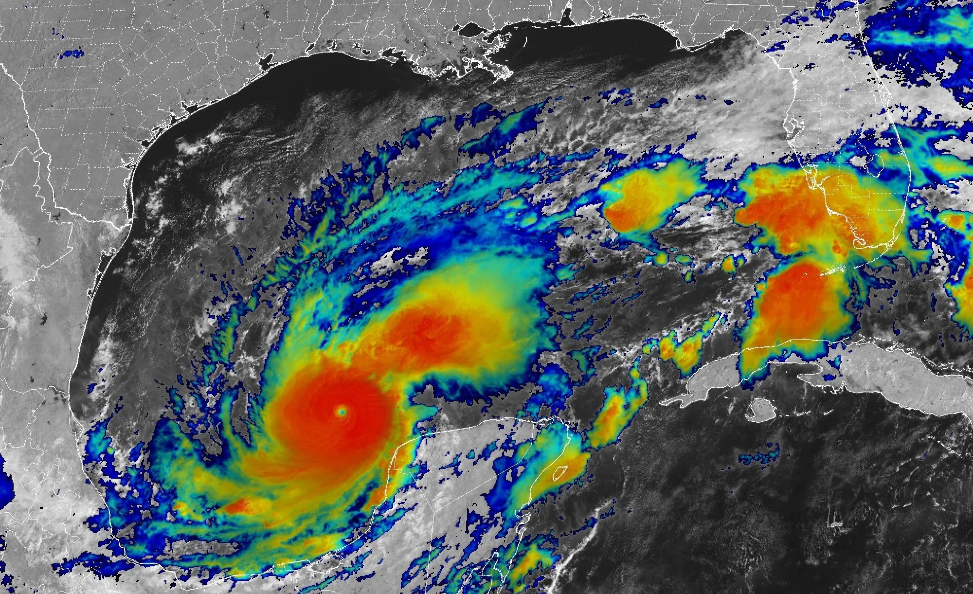
Hurricane Milton, which re-strengthened to a Category 5 hurricane Tuesday afternoon, is taking aim at Florida’s west coast. Landfall is expected late Wednesday night as a Category 3 hurricane.
Milton is closing in as Floridians are still recovering from the devastation unleashed by Hurricane Helene.
Hurricane Milton was 300 miles southwest of Tampa, Florida, as a Category 5 hurricane early on Wednesday, with winds of 160 mph.
Milton is expected to make landfall on Florida’s west coast sometime between 9 p.m. and midnight on Wednesday.
Landfall is projected near Sarasota, south of Tampa, as a low-end Category 4 hurricane with winds of 140 mph.
Milton is expected to pass out of Florida and out into the Atlantic Ocean some time on Thursday.
Expected record breaking storm surge of up to 15 feet for Tampa Bay and up to 12 feet for Fort Myers is considered the biggest danger.
Strong wind gusts over 100 mph are forecast in the Tampa Bay area during the landfall. Wind gusts of more than 74 mph are possible on the east coast of Florida around Cape Canaveral.
Heavy rain is expected to inundate parts of central Florida and bring a high risk of flash flooding. Up to 18 inches of rain is possible from Tampa to Orlando and in parts of central Florida.


