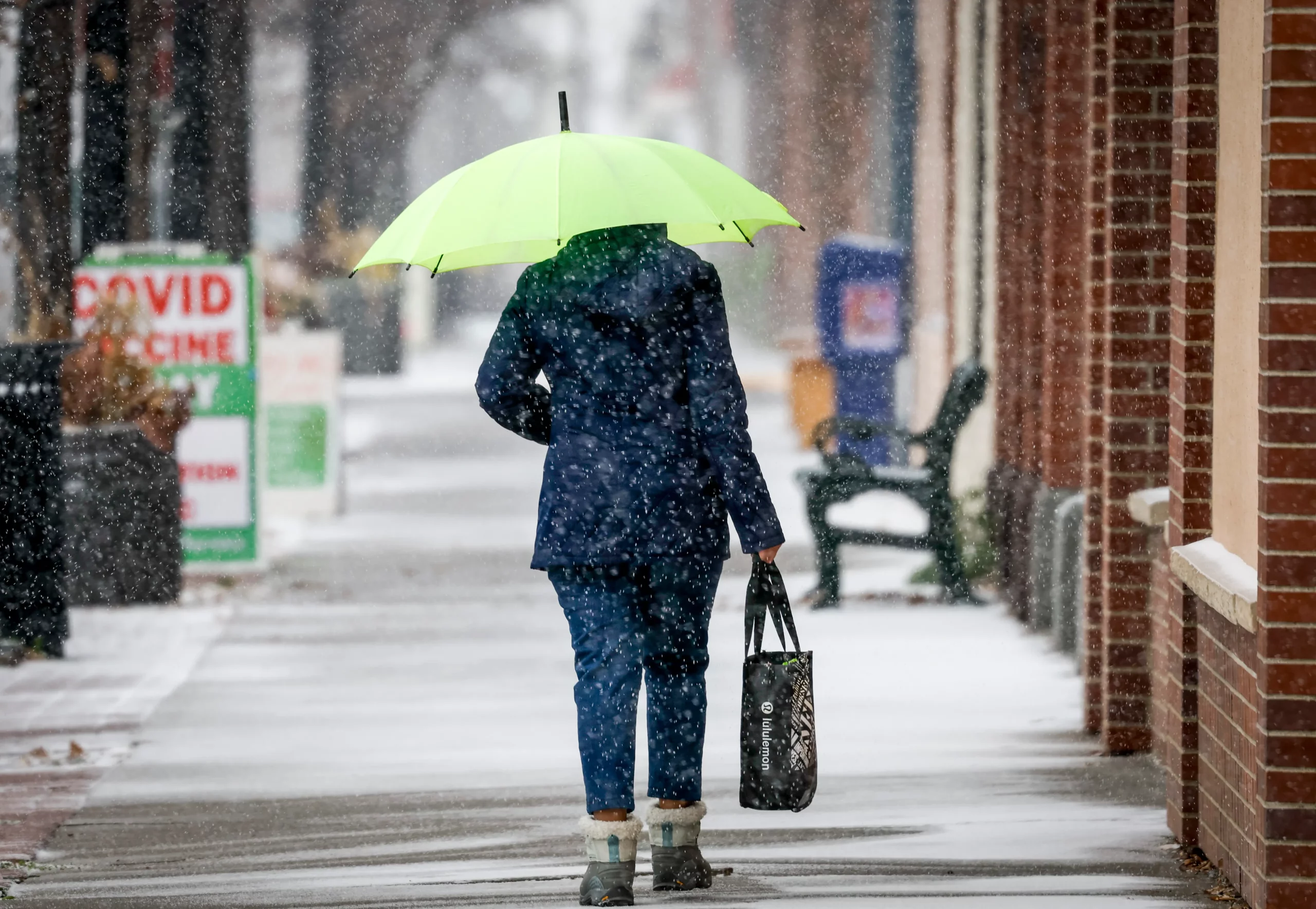
Most of Canada and the northern United States may see far less snow than average this winter thanks to a strong and persistent El Nino, U.S. forecasters say — if past years are any indication.
Officials at the U.S. Climate Prediction Center (CPC) published a blog post last week looking at El Nino winters dating back to 1959, and found that the weather phenomenon generally leads to below-average snowfall across much of southern Canada and northern U.S. states.
The Pacific Northwest, northern Rockies and Great Lakes regions are particularly impacted, the analysis found, and have seen between 15 to 25 cm less snow between January and March compared to regular winters.
During so-called moderate or strong El Nino winters — like the kind forecast this year — the impact is even stronger.
“Stronger El Niño events tend to land a larger punch on our atmosphere, thus increasing the chance of seeing expected El Niño impacts,” the post reads.
El Nino is a natural climate phenomenon that occurs every three to five years in which surface waters of the central and eastern Pacific become unusually warm, causing changes in weather patterns around the world.
During the winter, El Nino sends a jet stream, which moves storm fronts, on an unusual path that is dominated by warmer and wetter Pacific air plunging south.
That means the southern U.S. typically sees above-average snowfall during an El Nino winter — yet total accumulations in those states are still unlikely to match the snowfall seen in the north. The CPC analysis also found northern Quebec and Labrador have seen up to 25 more cm of snow than average during the phenomenon.
Historically, snowfall in central U.S. states and Canadian provinces like Manitoba and Saskatchewan are largely unaffected by El Nino.
But every other province in the west and east, as well as the northern territories, have seen far less snow than average. Western British Columbia, southern Ontario and the Atlantic provinces have seen the biggest changes, the analysis found.
The data was taken from the Climate Data Store, which is supplied by the Copernicus climate satellite system owned by the European Union.
The U.S. National Oceanic and Atmospheric Administration (NOAA) already concluded last month that this winter will see a strong El Nino impact, bringing above-seasonal temperatures to much of the U.S. and other parts of the world.
The United Nations has said El Nino has been responsible for several extreme weather events in recent weeks, including heavy rains and flooding in Somalia and drought in South American countries like Brazil.
The agency said El Nino will likely last through the first half of 2024, which could affect agriculture in Latin America.
China’s National Climate Centre has also advised that the country’s winter could be warmer than usual, after experiencing a sharp rise and just-as-sudden decline in temperatures this month.
Globalnews


